AIM
4/3/14
9−1−12
Types of Charts Available
FIG 9
−1−13
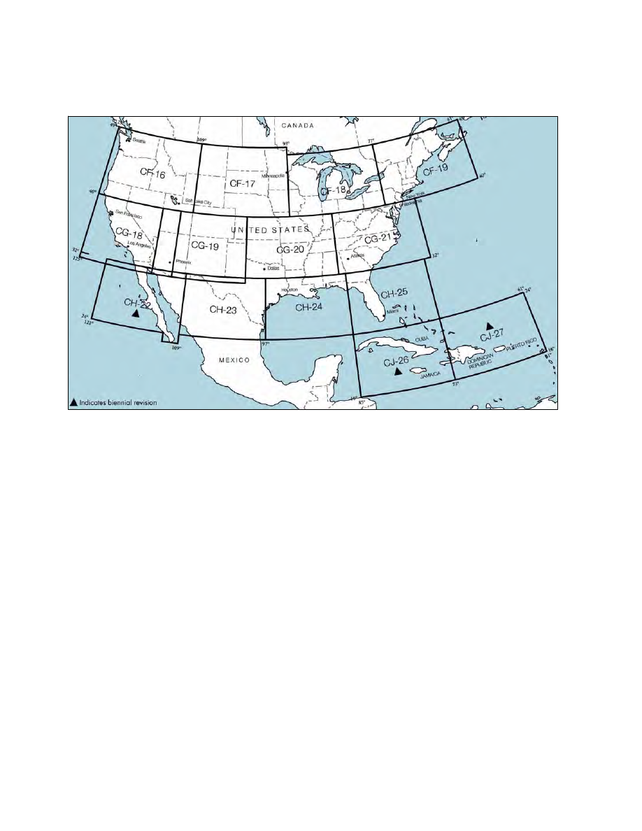
World Aeronautical Charts for the Conterminous U.S.
Mexico, and the Caribbean Areas
9
−
1
−
5. Where and How to Get Charts of
Foreign Areas
a. National Geospatial
−Intelligence Agency
(NGA) Products.
For the latest information regard-
ing publication availability visit the NGA Web site:
h t t p s : / / w w w. n g a . m i l / P r o d u c t s S e r v i c e s /
Aeronautical/Pages/default.aspx
1. Flight Information Publication (FLIP)
Planning Documents.
General Planning (GP)
Area Planning
Area Planning − Special Use Airspace −
Planning Charts
2. FLIP Enroute Charts and Chart Supple-
ments.
Pacific, Australasia, and Antarctica
U.S. − IFR and VFR Supplements
Flight Information Handbook
Caribbean and South America − Low Altitude
Caribbean and South America − High Altitude
Europe, North Africa, and Middle East −
Low Altitude
Europe, North Africa, and Middle East −
High Altitude
Africa
Eastern Europe and Asia
Area Arrival Charts