AIM
8/15/19
9
−
1
−
3
Types of Charts Available
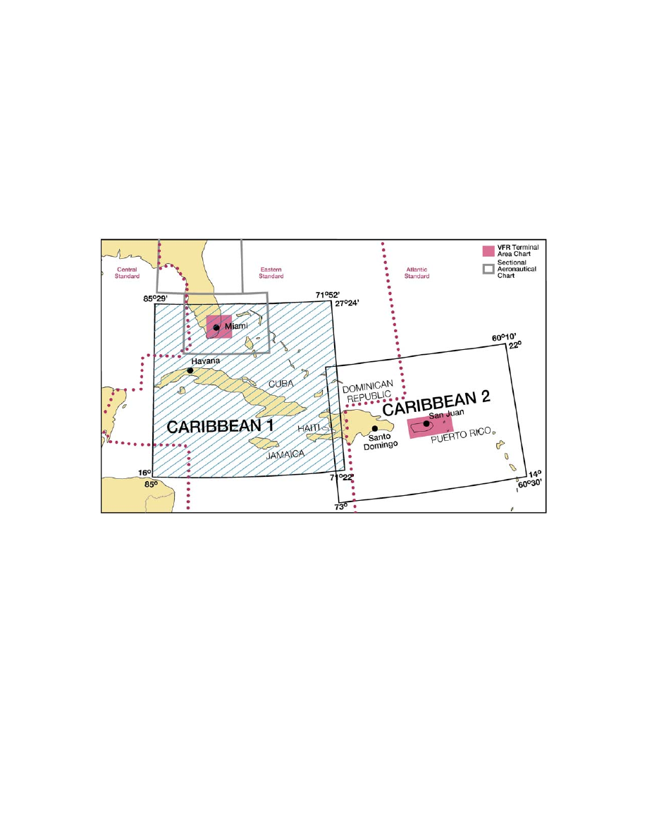
5. Caribbean VFR Aeronautical Charts.
Caribbean 1 and 2 (CAC
−
1 and CAC
−
2) are designed
for visual navigation to assist familiarization of
foreign aeronautical and topographic information.
The aeronautical information includes visual and
radio aids to navigation, airports, controlled airspace,
special
−
use airspace, obstructions, and related data.
The topographic information consists of contour
lines, shaded relief, drainage patterns, and a selection
of landmarks used for flight under VFR. Cultural
features include cities and towns, roads, railroads,
and other distinct landmarks. Scale 1 inch =
13.7 nm/1:1,000,000. CAC
−
1, revised annually,
consists of two sides measuring 30” x 60” each.
CAC
−
2, revised biennially, consists of two sides
measuring 20” x 60” each. (See FIG 9
−
1
−
3.)
FIG 9
−
1
−
3
Caribbean VFR Aeronautical Charts