Index
558
-- Page 559 --
560
11/10/16
12/10/15                                                                                                        AIM


     5. Caribbean VFR Aeronautical Charts.                   lines, shaded relief, drainage patterns, and a selection
Caribbean 1 and 2 (CAC-1 and CAC-2) are designed             of landmarks used for flight under VFR. Cultural
for visual navigation to assist familiarization of           features include cities and towns, roads, railroads,
foreign aeronautical and topographic information.            and other distinct landmarks. Scale 1 inch =
The aeronautical information includes visual and             13.7nm/1:1,000,000. CAC-1, revised annually,
radio aids to navigation, airports, controlled airspace,     consists of two sides measuring 30" x 60" each.
special-use airspace, obstructions, and related data.        CAC-2, revised biennially, consists of two sides
The topographic information consists of contour              measuring 20" x 60" each. (See FIG 9-1-3.)


                                                      FIG 9-1-3
                                       Caribbean VFR Aeronautical Charts


Types of Charts Available                                                                                     9-1-3
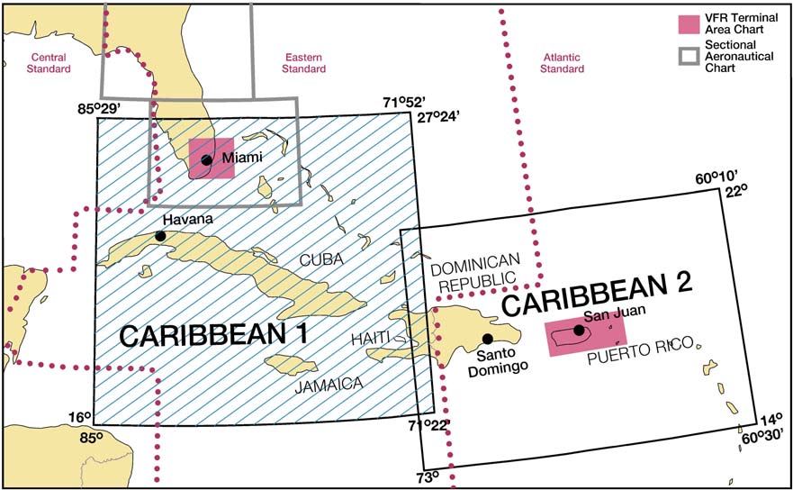 FIG 9-1-3
Caribbean VFR Aeronautical Charts
Types of Charts Available 9-1-3
FIG 9-1-3
Caribbean VFR Aeronautical Charts
Types of Charts Available 9-1-3