AIM
4/3/14
1−1−5
Navigation Aids
d.
VOR/DME/TACAN Standard Service
Volumes (SSV).
1.
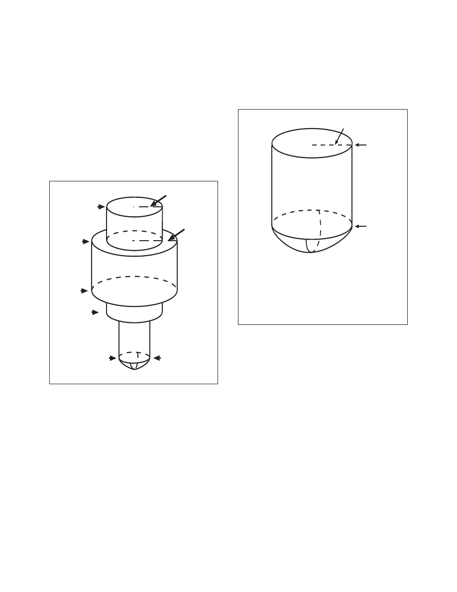
Standard service volumes (SSVs) are graph-
ically shown in FIG 1−1−1, FIG 1−1−2, FIG 1−1−3,
FIG 1−1−4, and FIG 1−1−5. The SSV of a station is
indicated by using the class designator as a prefix to
the station type designation.
EXAMPLE
−
TVOR, LDME, and HVORTAC.
FIG 1
−1−1
Standard High Altitude Service Volume
(See FIG 1−1−5 for altitudes below 1,000 feet).
60,000 ft.
100 NM
130 NM
45,000 ft.
18,000 ft.
14,500 ft.
1,000 ft.
40 NM
FIG 1
−1−2
Standard Low Altitude Service Volume
(See FIG 1−1−5 for altitudes below 1,000 feet).
NOTE: All elevations shown are with respect
to the station’s site elevation (AGL).
Coverage is not available in a cone of
airspace directly above the facility.
40 NM
18,000 ft.
1,000 ft.